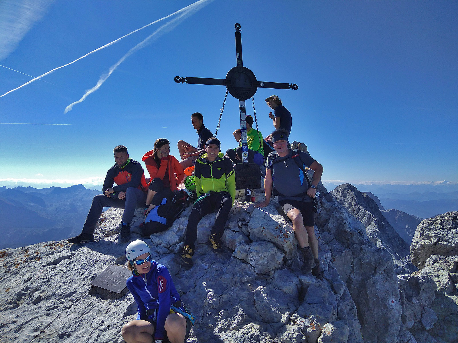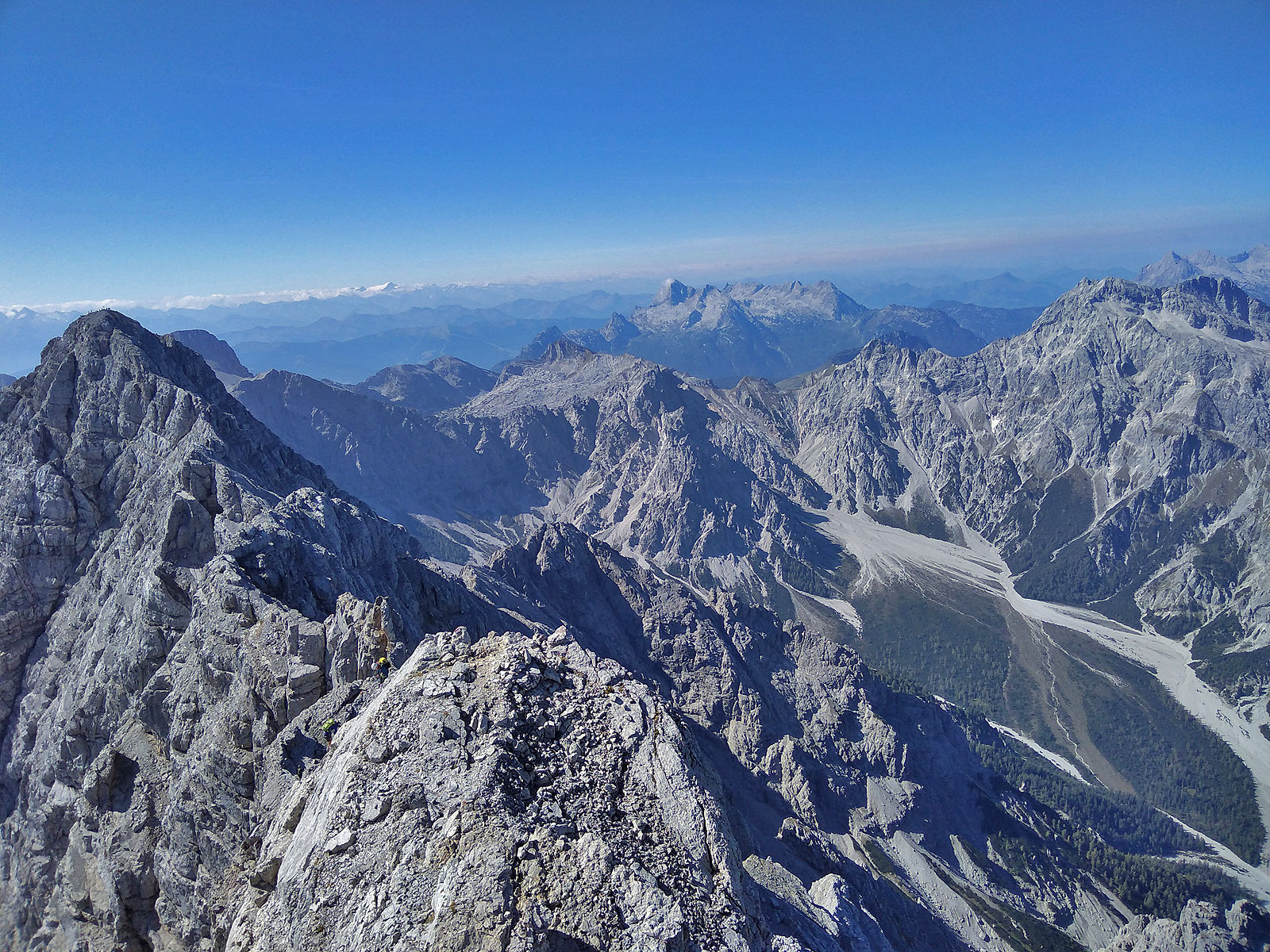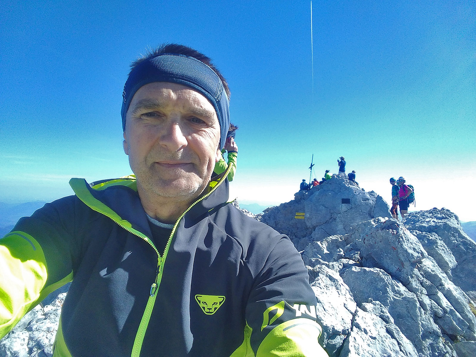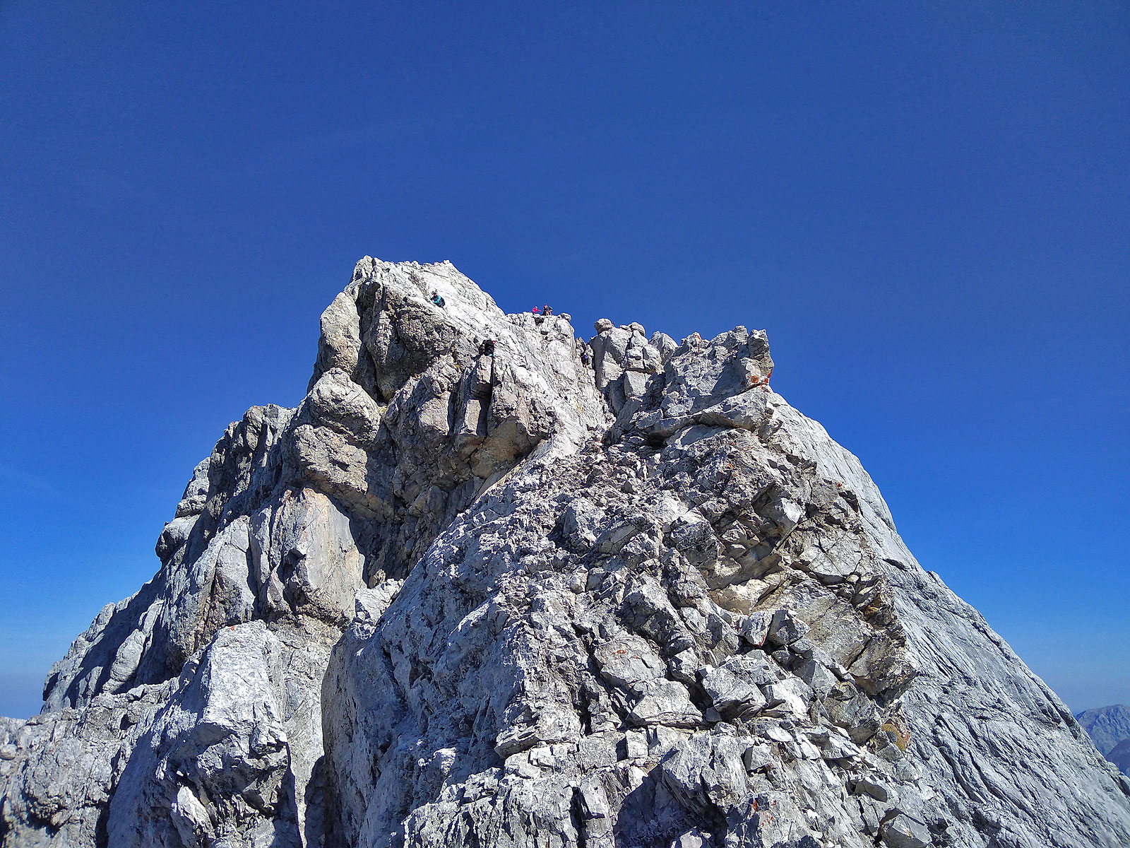

Map of the route “Watzmannüberschreitung”: 14.900 m, 2.292 m of climbing and 882 m of descent, elevation between 835 m and 2.713 m, time 07:40:15. It starts at 47.60084, 12.94195 and ends at 47.54266, 12.91454 (latitude, longitude).
Gesamtstrecke: 14912 m
Maximale Höhe: 2715 m
Minimale Höhe: 832 m
Gesamtanstieg: 2292 m
Gesamtzeit: 07:40:31
Download file: 2018_Watzmannueberschreitung.gpxMaximale Höhe: 2715 m
Minimale Höhe: 832 m
Gesamtanstieg: 2292 m
Gesamtzeit: 07:40:31