
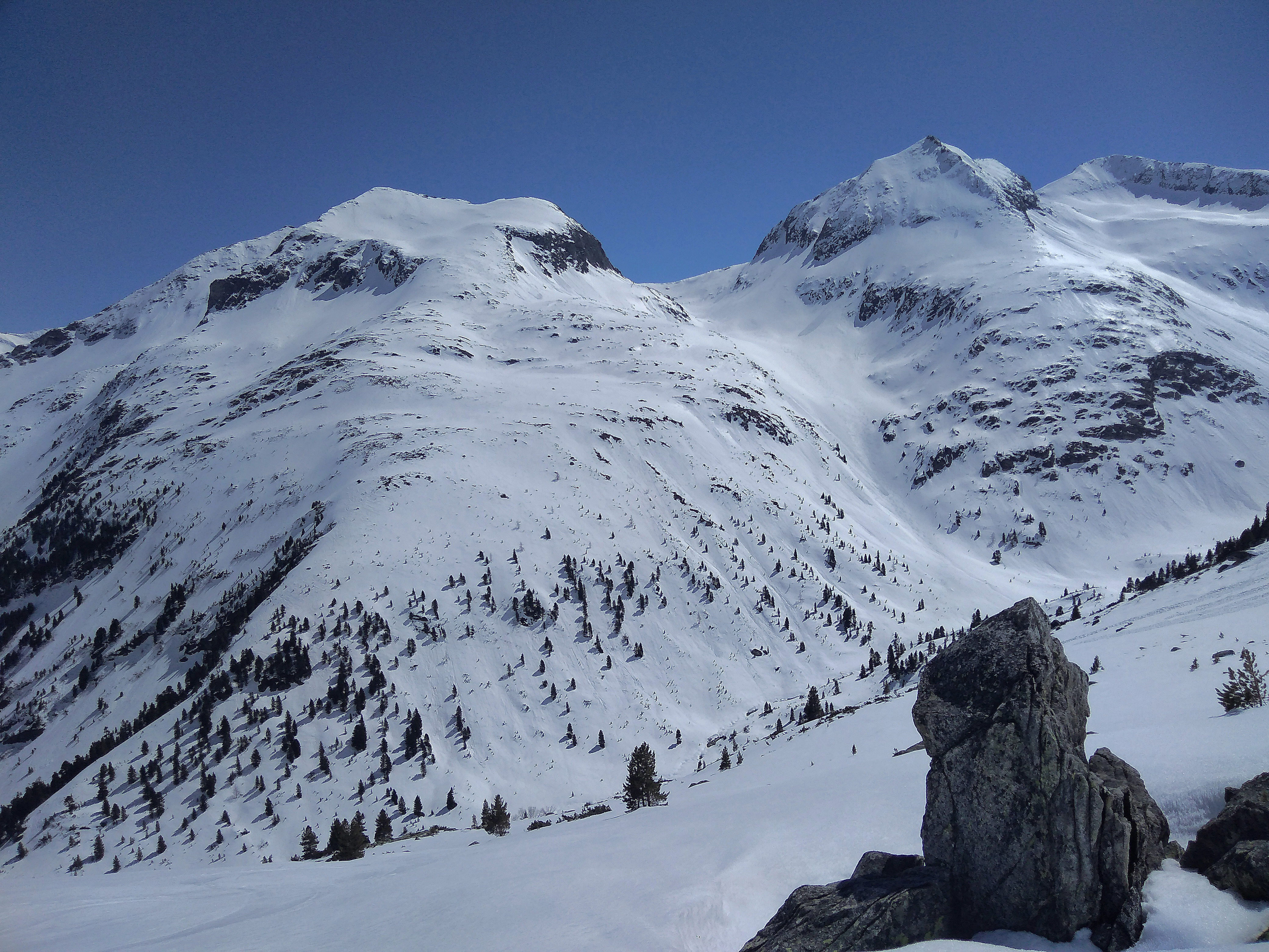
Graukarkopf Variante 01
Map of the route “Graukarkopf 2663 m”: 5.675 m, 1.011 m of climbing and 31 m of descent, elevation between 1.621 m and 2.600 m. It starts at 47.13928, 12.19089 and ends at 47.13223, 12.16567 (latitude, longitude).
Gesamtstrecke: 5692 m
Maximale Höhe: 2601 m
Minimale Höhe: 1621 m
Gesamtanstieg: 1011 m
Gesamtzeit: 00:00:00
Download file: A9a_Graukarkopf.gpx
Maximale Höhe: 2601 m
Minimale Höhe: 1621 m
Gesamtanstieg: 1011 m
Gesamtzeit: 00:00:00
Graukarkopf Variante 02
Map of the route “Graukarkopf 2663 m”: 6.092 m, 1.001 m of climbing and 22 m of descent, elevation between 1.622 m and 2.601 m. It starts at 47.13881, 12.19166 and ends at 47.13224, 12.16579 (latitude, longitude).
Gesamtstrecke: 6092 m
Maximale Höhe: 2601 m
Minimale Höhe: 1622 m
Gesamtanstieg: 1001 m
Gesamtzeit: 00:00:00
Download file: A9b_Graukarkopf.gpx
Maximale Höhe: 2601 m
Minimale Höhe: 1622 m
Gesamtanstieg: 1001 m
Gesamtzeit: 00:00:00